

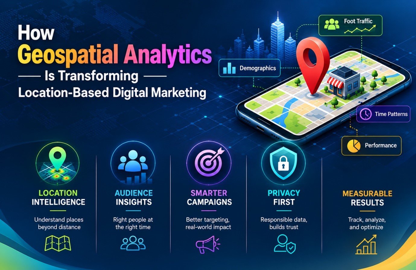
Geographical regions have historically had a significant role in marketing activities. Local food establishments think of their local consumers, dealers’ study metropolitan surroundings of their shops, and marketers pay attention to the trends in their prospective customers’ behaviour. However, one development has been the increase in the amount of geographical data that can be now accessed.
Geospatial analytics uses maps, demographics, mobility patterns, roads, business, and other geographical data. From making one big audience out of a city/ neighborhood one can identify much smaller variations between places and people visiting them.
This makes location based digital marketing move away from mere radius targeting towards the real characteristics of a location.
From Radius Targeting to Real Location Intelligence
A wide area can hide many secrets. For example, if you look around a shopping center and take a 5-kilometer radius around it, you will find a variety of residential buildings, offices, educational institutions, and transport infrastructure facilities. Each of these buildings generates its own population flow.
An area that consists mainly of offices would be busiest at working hours, while a residential locality would experience more crowd in the evening. Finally, a shopping area would have the maximum flow of people at weekends.
Geospatial analysis allows for a differentiation of the processes that take place in different parts of a large area. Such factors as population, layout of the land, accessibility, neighbouring establishments, and movement can be taken into account together instead of relying on distance.
For instance, a café across the street from many offices would be full of visitors in the morning, while another café located in the area with many residential properties would welcome guests in the evening. Both cafés would be located within the radius of five kilometers, but they will have different marketing opportunities.
Demographic Data Provides Clarity
Place by itself cannot explain who lives or works in a particular location. The U.S. Census Bureau provides demographic, housing, and economic data for various geographical regions from census tracts to block groups. This information allows marketers to identify neighborhoods that have similar population sizes but vary in household and employment.
There is growth in the larger geospatial industry in response to this need. According to Data Intelo, the value of the global geospatial analytics market was estimated at $96.8 billion in 2025 and has an expected CAGR of 12% from 2026 to 2034 meaning that it can reach around $268.4 billion by 2034. This growth is attributed to increased usage of data powered by geolocation technology, artificial intelligence, spatial awareness, and many others in various fields from governmental to military.
For digital marketing, the significance is practical. More sophisticated spatial tools can process geographic information at a scale that would be difficult to manage manually.
Foot Traffic Can Change the Picture
The fact that there are many people living in one area does not imply that the street is busy, for instance, a street can have a population of 25000 but may still be less busy than another street with only 15000 residents owing to its being located near a metro station, business centers, or recreation sites.
In this case, foot-traffic data becomes important. Marketers have the chance to analyze the size of the population versus the number of people entering a certain area and discover what times are peak times when a certain place is the busiest.
For instance, on a standard day, a shopping street attracts about 5,000 people and on Saturday about 8,000 visitors. The 60% difference between these figures demonstrates very significant weekend traffic and thus very good possibilities for local sales promotions and advertising campaigns.
The data used for such analysis might vary depending on the dataset and measuring style, and thus it should be understood as specific for certain locations rather than as some abstract universal values.
Geofencing is Increasingly Engaging
Geofencing is where digital barriers are formed around the earth. It can be effectively deployed in projects associated with shops, venues, transportation, and other tangible places.
The biggest drawback of traditional geofencing is the fact that everyone found within the limits of the fencing is treated the same. Geospatial data introduces some context.
As an example, at a train station, 500m zone around it can usually be busy between 7 and 9 a.m. on weekdays and may exhibit a completely different behavior during the weekend from 11 a.m. to 3 p.m.
This difference is important, as promotion of breakfast should be launched during the rush hour in the morning, while entertainment campaigns are better developed later in the day.
Practical Applications for Marketers
Geo analysis can be beneficial in daily marketing decisions.
- Local market segmentation: Geographic areas can be classified on the bases of population, demographic makeup and activity level.
- Campaign launch timing: Advertisements can be matched with the time slot when a location is most active.
- Store visit verification: Various geographic segments can be compared before and after a campaign is launched.
- Location comparison: Potential advertising areas can be evaluated using population, competition, transport, and traffic.
- Local SEO planning: Geographic differences can help identify which neighborhoods or service areas deserve separate attention.
The common thread among them all is the context. Location-related data is most useful as far as it helps clarify what is going on at any particular point.
Putting a Number on Campaigns Against Physical Activity
One of the more useful applications is connecting digital exposure with physical behavior.
It is assumed that a campaign has been conducted, leading to a total of 100,000 screen-owners present within the geographical region. After the campaign period, the number of visits in stores located in the respective region can be compared to that of another region with a similar area that has not been exposed to the campaign.
This is a simple comparison:
| Measurement | Exposed Area | Comparison Area |
| Campaign reach | 100,000 devices | 0 devices |
| Pre-campaign visits | 20,000 | 19,500 |
| Post-campaign visits | 21,200 | 20,280 |
| Visit change | 6.00% | 4.00% |
| Difference in growth | +2 percentage points | — |
The 2-percentage-point difference is useful as a signal for evaluating the situation, however, it does not prove that the entire increase was caused by advertising.
Weather, holidays, discounts, local events, and competitors could all result in influencing the number of visits. For a reasonable analysis, comparison groups and sufficient historic data are necessary to have an understanding of conventional behavior patterns.
The important change is that digital marketing can be evaluated against a physical outcome rather than stopping at impressions or clicks.
Privacy Is Part of the Equation
While location data proves to be useful, it has also raised significant privacy issues. Knowledge about exact locations can provide information about people’s daily routines and sensitive places that an individual visits.
The Federal Trade Commission (FTC) has taken action in this field. In 2024, the FTC issued a ruling against In Market, forbidding the firm from selling, transferring or distributing exact location data, and stating that it must obtain consent from customers, erase their private data, and carry out other actions.
The FTC also took action against X-Mode Social and its successor, Out logic, concerning the sale or sharing of sensitive location information.
These examples show why the location-based marketing should not be viewed merely as a good targeting opportunity because the whole process involves data collection, approval, keeping the data, and its anonymization.
The Direction of Location-Based Digital Marketing
Geospatial analytics is changing location-based digital marketing by adding context to geographic information. A radius can show who is nearby, but spatial analysis can provide a better understanding of what happens inside that area.
World population, movements of people, accessibility, pedestrian traffic, density of business establishments and the time can give more detailed information on the local activities.
Thus, the next step in location marketing does not lie in collecting as much location data as possible, but rather in interpreting the geographic data carefully. Enhanced analytics could make the publicity campaigns more relevant, and careful employment of privacy practices ensures the safe use of location intelligence without treating confidential personal data as an unlimited marketing tool.
